Seagulls and Tales of the Trails: Busan Galmaetgil 9.2
4 minute read

Starting point: Igok Village (이곡마을)
Closest bus stop: Igok (이곡)
Middle point: Moyeonjeong Pavilion (모연정)
End point: Gijang-gun Office (기장군청)
Closest bus stop: Gijang-gun Office (기장군청 정류장)
Total distance: 10.8 kilometers
Total time: 2.5 hours
Difficulty: moderate
You’ll start off this trail at Igok Village (이곡마을), which is the ending point for Galmaetgil 9.1. Starting from this point, you will want to follow the red ribbons and arrows to reach Gijang-gun Office. Note that there is no public/easily accessible restroom on this traill, so I would recommend grabbing a bite to eat at Sigeol Bapsang (시골밥상), and also using the restroom there.
The trail starts off with a slight incline, until you hit your first main expressway. Once you get to this crossing, you will follow the signs through the underground passageway. After going through the passageway, you’ll wind up on the opposite side of the expressway, and continue up a decently steep hill.
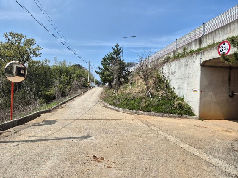
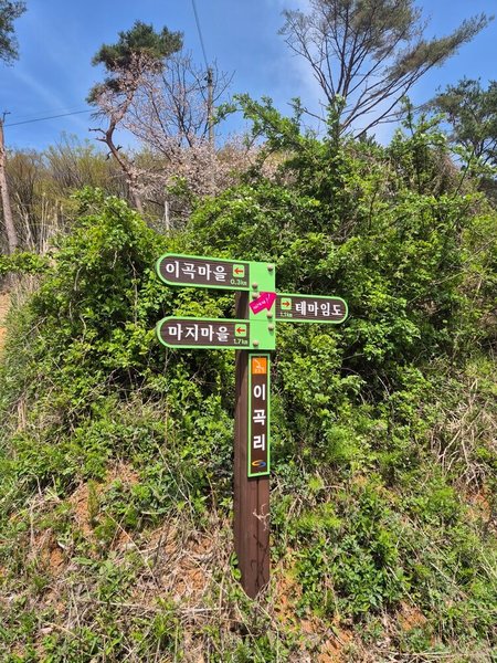
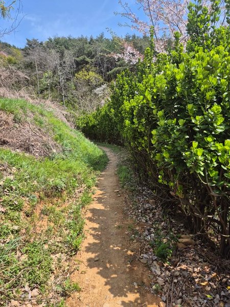
Following the trail denoted by arrows, you’ll eventually hit your first mountain, Ahopsan (아홉산) and the forest surrounding it. This mountain/forest is a pretty easy trek, and there are plenty of trees and shade to keep from getting too hot. The roads aren’t as paved as other galmaetgil paths, but there’s a distinct lack of rocks to trip over. You’ll also be able to see the galmaetgil ribbons every 100 meters or so, so no worries about getting lost.
Ahopsan is most famous for it’s bamboo forest (아홉간숲), a picturesque but easy area to trek around. However, on this path, you’ll completely avoid bamboo and instead go around the perimeter of the mountain.
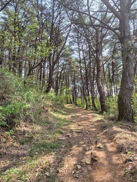
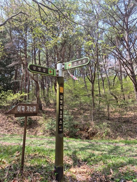
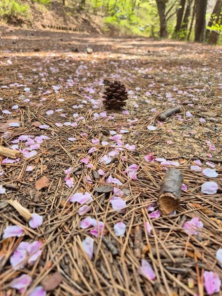
As this is a forest path, you’ll see plenty of trees, but not as many panoramic views. There’s a small bridge leading to the second forest that you’ll encounter on your way to Gijang-gun and on this path, there were several small shelters that you can take a break in. One of these rest areas is complete with a view overlooking a small pond with tiny fishes.
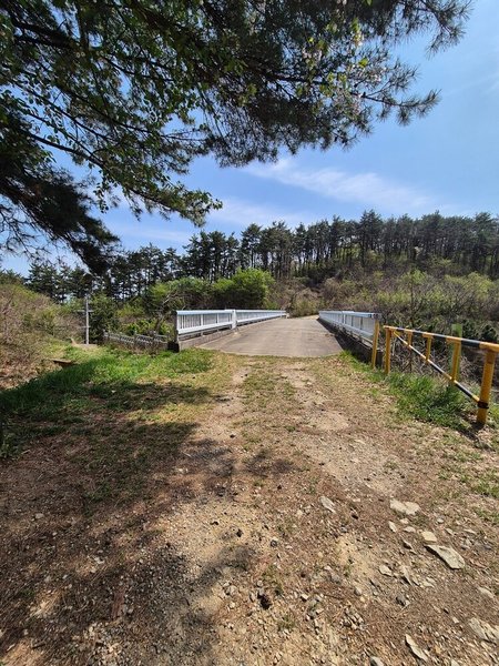
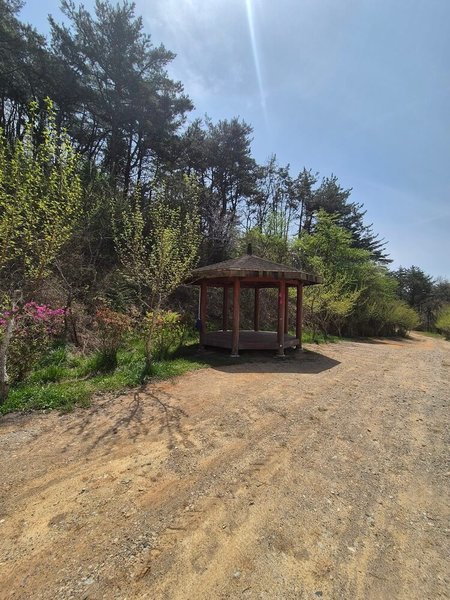
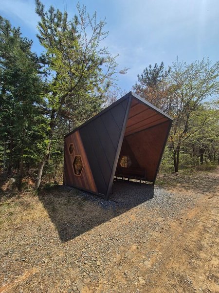
After passing the last shelter, the road becomes much more paved, and you’ll encounter the midpoint check for galmaetgil 9.2. Behind the giant information board, there is a small footpath that leads up to the stampbox. Coincidentally, there is also a resting platform here, if you wish to take a short break.

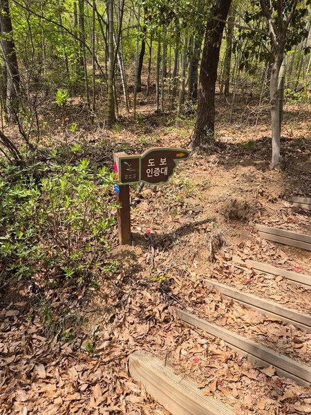

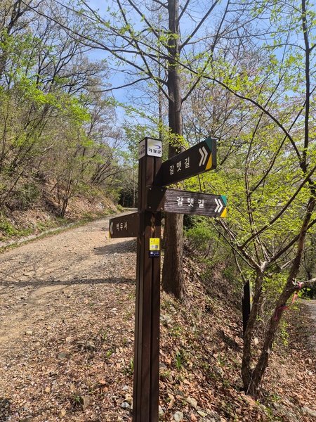
As you finish this stamp and head down the path leading to Gijang-gun, the signage will start to change to incoporate the blue and gold colors that represent the Gijang district. When you come to this crossroad, you’ll want to take the path to the right, instead of continuing straight up. Down this path, you’ll come across another small outdoor gym, and another rest area. Around this area, there were a lot more elderly people milling about, and enjoying the beautiful spring weather.
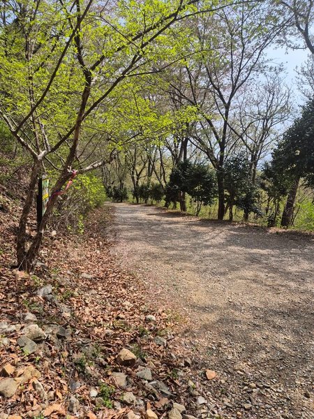
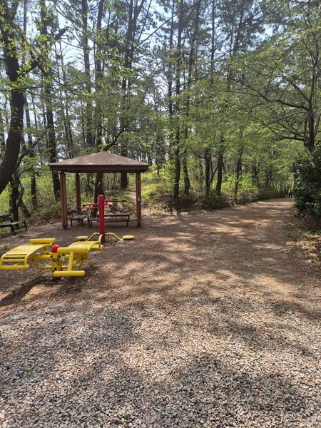
This area is very well paved, and there were plenty of cyclists passing on by, and eventually I found out why. This part of the forest was part of the 2002 Asian Games Mountain Bike path, and is well maintained and easily accessible. You’ll come across another (larger) outside gym, with (at the time of writing this article), non-open bathrooms. Following the brick path, you’ll eventually run into a gate that opens onto a larger road where cars can potentially drive up. Here, you’ll also start to see giant banners instructing you to be careful of forest fires.

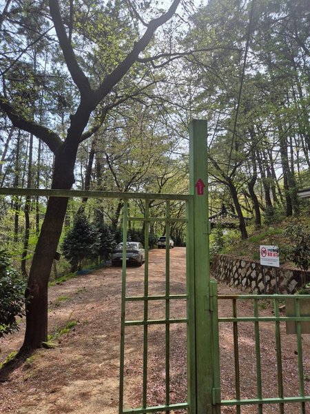
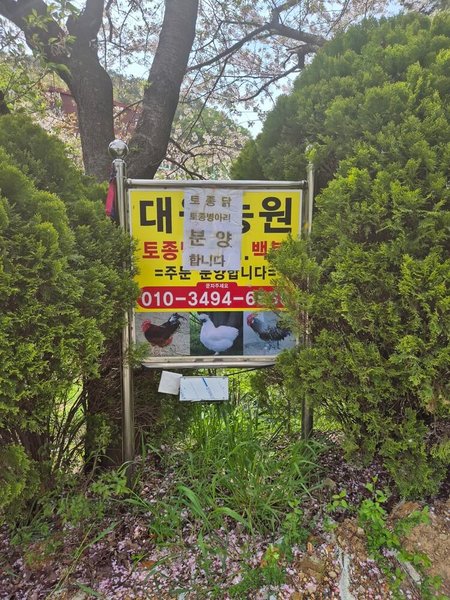
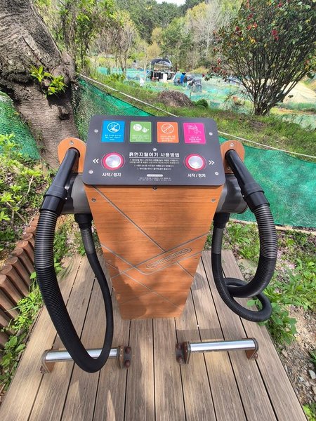
Coming out of the forest, there are some convenient hair dryer-esque machines that you can use to blow off dust and sand from your clothes. If you’re in the mood for buying some chickens, you can also find a farm advertisement. Although it was very tempting for me, I opted to continue on and ignore the cute little chicks.
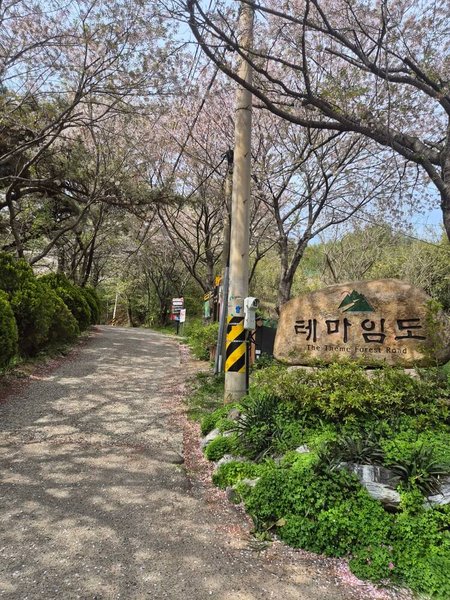
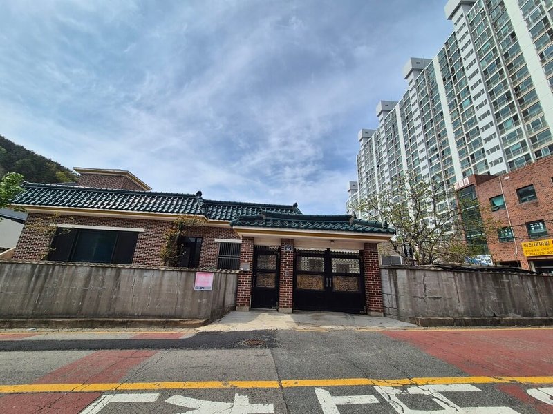
Now that you’re out of the woods, welcome to Gijang County! Located around a 15 minute drive from Haeundae beach, Gijang is home to many newer attractions, from the Skyline Luge to Busan;s own Lotte World Adventure Amusement Park. Here you’ll find old gravestones kitty-corner to parks, traditional Korean buildings (hanok) next to high-rise apartments, and other combinations of old and new.
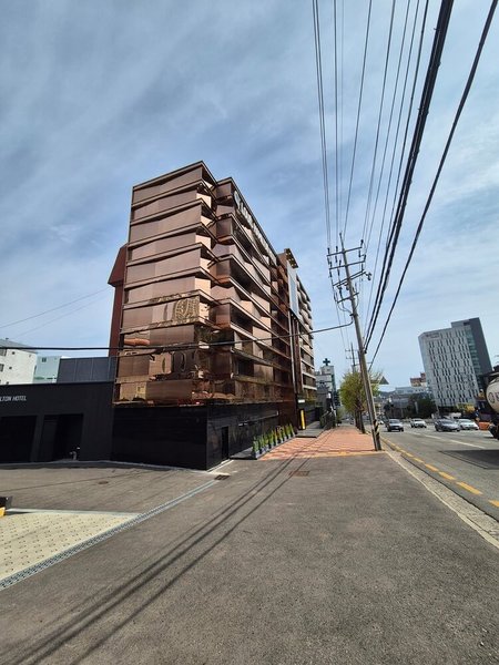
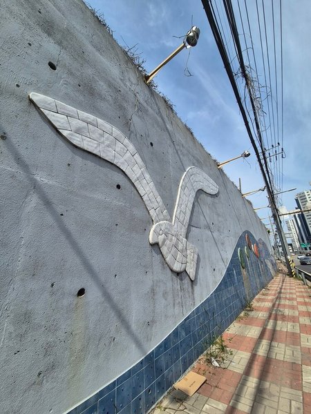
As you come to the end of your journey, you’ll pass by a giant seagull, and head under yet another overpass, before reaching the Gijang-gun office, where the final checkpoint awaits.
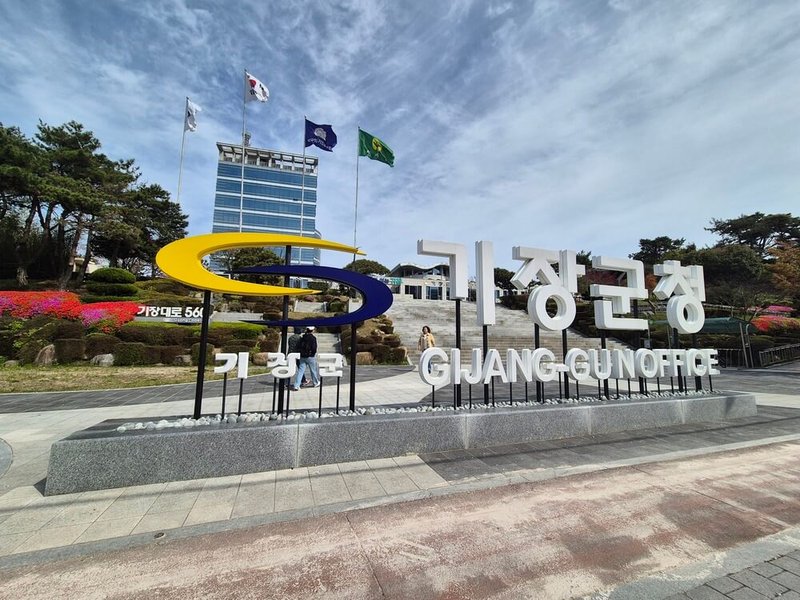
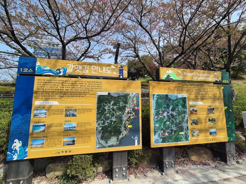
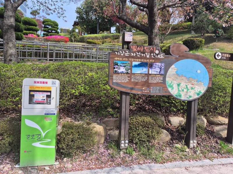
Galmaetgil 9.2 overall was a moderately tough path, only because of the starting elevation and the lack of facilities on the actual path. It’s about 11 kilometers long, and took me around 2.5 hours to complete. Slightly more difficult than Galmaetgil 9.1, both are doable in the same day, as long as you plan out your starting time well.
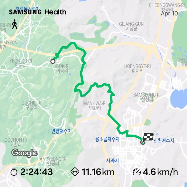
Stay tuned for the next Galmaetgil adventure!

Dwaeji Gukbab Connoisseur
Related posts

Seagulls and tales await on Busan's Galmaetgil 9.1! From scenic villages to countryside hanwoo, join me on this 9km journey of bridges, blossoms, and an old friendly grandpa.

Discover .NOTE new Haeundae location in Busan. Enjoy a 1-hour creative perfume-making workshop with English/Korean tablet guide, free blending of top/heart/base notes. Perfect unique date idea


